
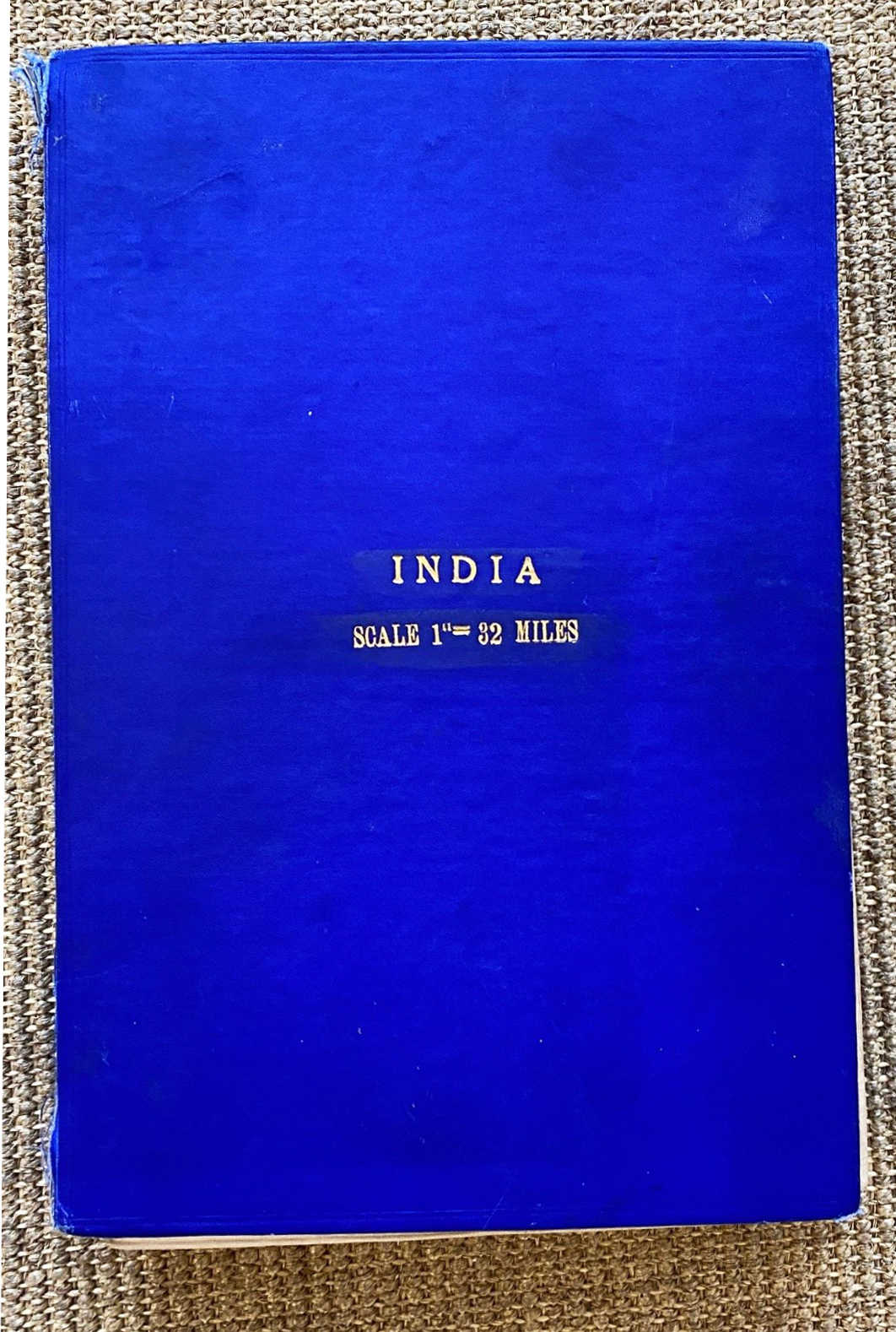
Thirteen (13) individual published maps have been joined to make this composite map of India and surrounding countries. (Note the three titles at the top of the map). The individual sheets are named as follows; north to south, and west to east; Afghanistan, Kashmir, North Tibet, Baluchistan, Delhi, Brahmaputra, Kathiawar, Bombay, Calcutta, (an administrative sheet which is blank), Madras, Andaman, (another administrative sheet which is blank), Colombo (this includes the Maldives) and Nicobar (with an inset).
The Southern Asia Series is the name given to a series of 30 individual maps on a scale of 1 / 2,000,000 or ½ Mile or about 32 Miles to the Inch. Each sheet of these maps comprises of 12 degrees of Longitude and 8 degrees of latitude, that is six times the area covered by other large topographical maps drawn by the Survey of India at the time. These maps were published between 1914 and 1945 in differing formats, this being the most comprehensive.
The maps included in the Southern Asia Series encompasses Mesopotamia, the Arabian Peninsula and the Gulf of Aden to the west; and to the far east; Tibet, Peking, Central China, Hong Kong, Annam, Borneo, the Malay Peninsula and Sumatra in the south. Each individual map in the series is named and titled after a significant geographical feature within that particular map area; a city, a river or a country, or part thereof etc. Elevation Scales are shown to the right and all Legends and Index to Sheets are shown to the bottom of the map. (In compiling this map this information was removed)
The Survey Office offered different styles of mounting depending on the requirements of the purchaser, including the size and area which they wished their personalised map to cover. This map was mounted on cloth, folded with dissections and with stiffeners and (limp covers). Prices varied depending on the extent of the map and individual requirements.
Sir Edward Aldborough Tandy RE (1871-1950) was a Royal Engineer who spent most of his life working with the Survey of India offices and was Surveyor General of India from 1924 to 1928.
After leaving The Royal School of Military Engineers (SME) in 1891, Captain Tandy was posted to India and for five years had varied experience in Works, including the water supply of Agra Cantonment, road prospecting in the Chin Hills and famine duty in the Untied Provinces. He also served as Assistant Field Engineer during the Tirah Campaign of 1897.
He joined the Survey of India in January 1898 working with the Latitude Party. He was assigned the task of reorganising the Mathematical Instrument Office from 1901-1903. On special secondment to Head Office during this time, Tandy realised that there was an urgent need to reorganise the office on a regional basis to create a few large Survey circles to administer all survey work in a particular area, instead of the existing system under which topographical, revenue and forest surveys were grouped under separate administrative offices on an All India basis. This was gradually established during his service.
From 1903 to 1909 Tandy was in charge of No 18 Party (Survey Party) which was responsible for a great variety of specialised surveys in the Punjab, especially riverain boundary surveys and rectangulation surveys in the desert areas about to be brought under irrigation. This contributed to peace within an area afflicted by tribal disputes and litigation.
Major Tandy was posted to the Pendulum Party in 1911, at a time when the work of Sir Sidney Burrard; then Surveyor General of India; and Hayford and others in America; were stimulating world-wide interest in the problem of isostasy and the earth’s crust. Tandy wrote a paper on the subject and presented it to the Royal Geographical Society in 1921.
On the outbreak of the WWI Tandy, like many officers, was retained in India; but in 1916 he succeeded in being posted to Iraq as Assistant Director of Works to R E Parks. Working in the heat and trying conditions of Basra, his health was affected and he was reposted back to the Survey of India in 1917, where he carried out surveys on the Khewra Salt Mines.
In 1921 Colonel Tandy was posted as Director of the Geodetic Branch, the Map Publication Branch, and the Northern Circle and in 1924 succeeded to the post of Surveyor General. His tenure was marked by the gradual expansion of the activities of the Department which had been curtailed by the war and fiscal restraints. He formed the Frontier Circle with headquarters in touch with the Army and other Survey Companies recessing with Command HQ. This led to great improvements in mobilization arrangements and the recognition of the important role of the Survey of India in peace and war. The Circle included a Survey Party devoted exclusively to the development of Air Survey. This was necessary as the war had put a stop to easy access to tribal territories.
In 1928 Tandy retired from the service as an honorary Brigadier. He had varied interests in his long retirement which included the active support of Basic English as an international language.


